79°F
Graniteville, South Carolina, USA
AMATEUR RADIO CALL SIGN : KC4SRA
[Enable JavaScript for live updates]
Updated
:
16-Jul-2024 9:27pm
Night time, Dry, Clear skies
Temperature:
78.4°F
-1.0°F
/hr
Humidity:
82
%
Dew Point:
72.4°F
Wind:
SE
0.2 kts
Gust:
0.9 kts
Barometer:
30.019 inHg
Rising slowly
Rain Today:
0.43 in
UV Index:
0.0
None
Navigation
Home
Mobile
Tablet/Ipad
Current Conditions
CumulusMX
Cumulus 1
Weather 34
Fresh WDL
Saratoga Legacy
Davis Console
Local METARS
Soil
Evaporation
Daily Records
World Extremes
CoCoRaHS Obs
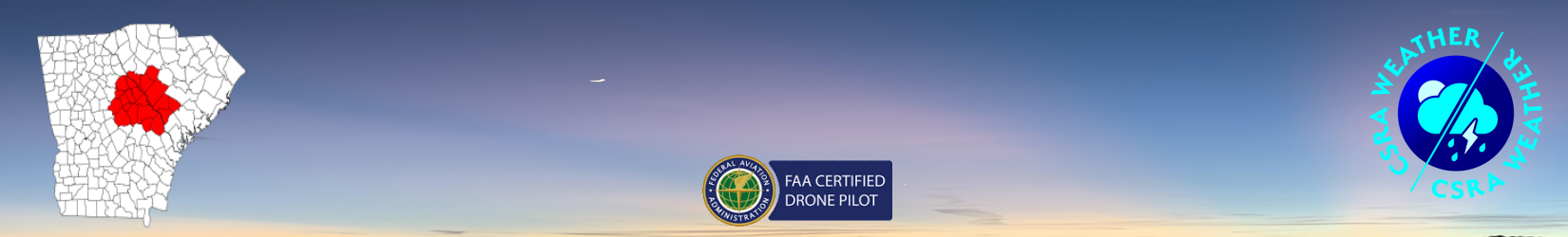
CSRA Regional Weather
Aiken
Augusta
Edgefield
Evans
Graniteville
Gregg Park
Harlem
Hephzibah
Langley
Red Hill
Salley
Shealy Knob
South Augusta
Sweetwater Landing
The River Balls
Trenton
USA Weather Stations
Mount Washington Observatory
Blue Hill Observatory
Bismark, ND. Weather
Camarillo, Ca. Weather
East Mesa/Las Cruces, NM. Weather
Ellerbee Road/Shreveport, La. Weather
Las Cruces, NM. Weather
Saratoga, CA. Weather
Sartell, MN. Weather
SE Lincoln, NE. Weather
Wildwood Naturalist Resort/Decatur, TX. Weather
Willowsford Farm, VA. Weather
Webcams
WebCams LIVE
Daily Timelapse
Windy.com Webcam
Air Quality
Local
Forecast
Satellite
Regional Infrared
US Jetstream
GOES 16
GOES 17
Radar
NWS Local Radar
Regional Radar
Savannah River
NWS WFO Columbia, SC (KCAE)
Forecasts / Advisories
Local Radar
Satellite
Weather Story
Fire Weather
Daily Hydrometeorology Report
Forecast & Advisories
Forecast details
Advisories
UV Index Forecast
NWS Forecast Computer Models/Charts
GFS
ECMWF
Surface Analysis
3-7 Day Fronts
Almanac
Sun/Moon
Earthquake activity
Climate Data
CPC Climate Outlook
Daily Climate Summary
Monthly Climate Summary NOVEMBER 2023
Weather Display Local Climate Data
NOAA/NWS COOP B-91 Reports
Rainfall Logs
Freeze Data
Dry Bulb Temp
Rainfall
ET
Soil Temp
Solar
UV
Station Records
All Time
Current Month
Current Year
On This Day
Weather News/Blog
VOLUME I
VOLUME II
Aviation Weather
Fire Weather
USFS Wildland Fire
Space Weather
Tropical Weather
Mesonets
SEWN
ISS Flyover
Next ISS Flyover
Drought Monitor Maps
CoCoRaHS Condition Monitoring
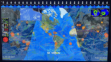
USA
SOUTHEAST
SOUTH CAROLINA
About
Website
Station Info
Station History
Status
Website Map
External Links
Affiliations
Weather Station Suppliers
UNL Drought Monitor Animated Maps
Select Date Range:
Six Week
Twelve Week
Year 2024
Year 2023
Year 2022
Year 2021
Year 2020
Year 2019
Year 2018
Year 2017
Year 2016
Year 2015
Year 2014
Year 2013
Year 2012
Year 2011
Year 2010
Year 2009
Year 2008
Year 2007
Year 2006
Year 2005
Year 2004
Year 2003
Year 2002
Year 2001
Year 2000
Year 1999
UNL Drought Monitor Six Week Animation
Maps & Data compiled by and courtesy of
UNL Drought Monitor
.