


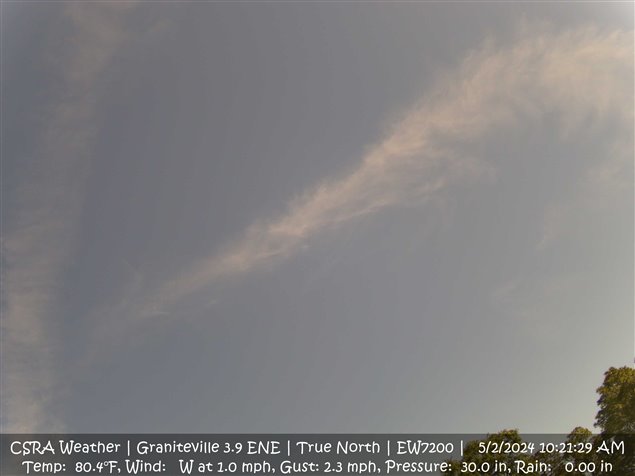
Latest Image Facing True North - Click image for Webcam LIVE Images |

Latest Image Facing West - Click Image for Timelapse - Past 24 Hours |
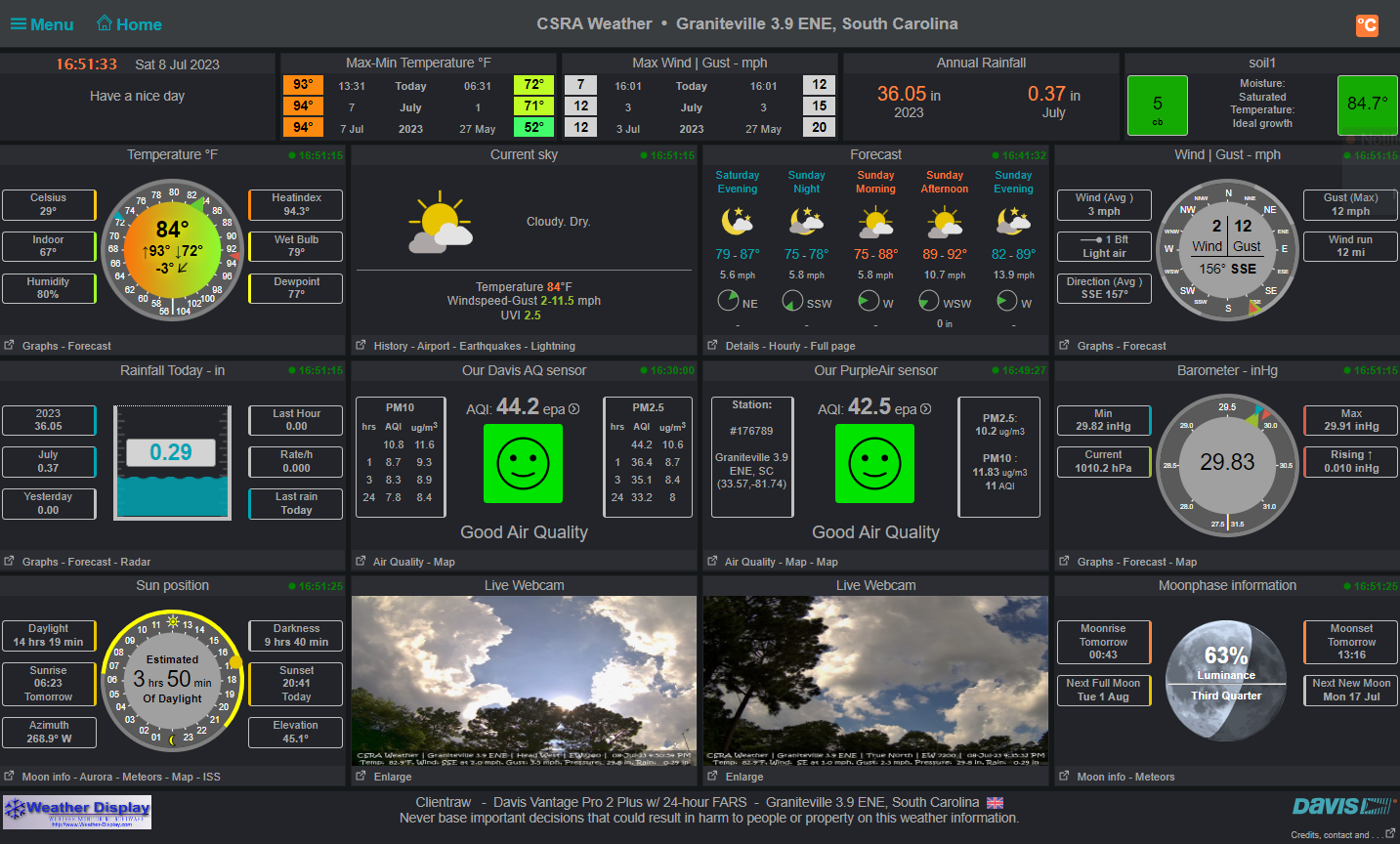
| Updated: @ 28-Apr-2024 12:20pm - next update at 12:00am | |||||||||||||||||||||||||||||||||||||||||
| Summary / Temperature | Wind | Rain | Outlook | ||||||||||||||||||||||||||||||||||||||
|
|
|
|
||||||||||||||||||||||||||||||||||||||
| Humidity & Barometer | Soil | Moon | |||||||||||||||||||||||||||||||||||||||
|
|
|
|||||||||||||||||||||||||||||||||||||||
| UV Index | Solar Radiation | ||||||||||||||||||||||||||||||||||||||||
|
|
||||||||||||||||||||||||||||||||||||||||


| National Weather Service History CSRA Region | |
|---|---|
| Normal Rain Month: 3 in. | Normal Rain YTD: 14.32 in. |
| Normal High: 82°F | Normal Low: 54°F |
| Record High: 92°F 2017 | Record Low: 37°F 2005 |
| NWS Weather Forecast - Outlook: Today & Tonight | ||||||
|
||||||


|

|
Scripts Assistance Courtesy of Willowsford Farm Weather
PWS Template / Mobile |
Real-Time Air Quality Map Courtesy of Purple Air |